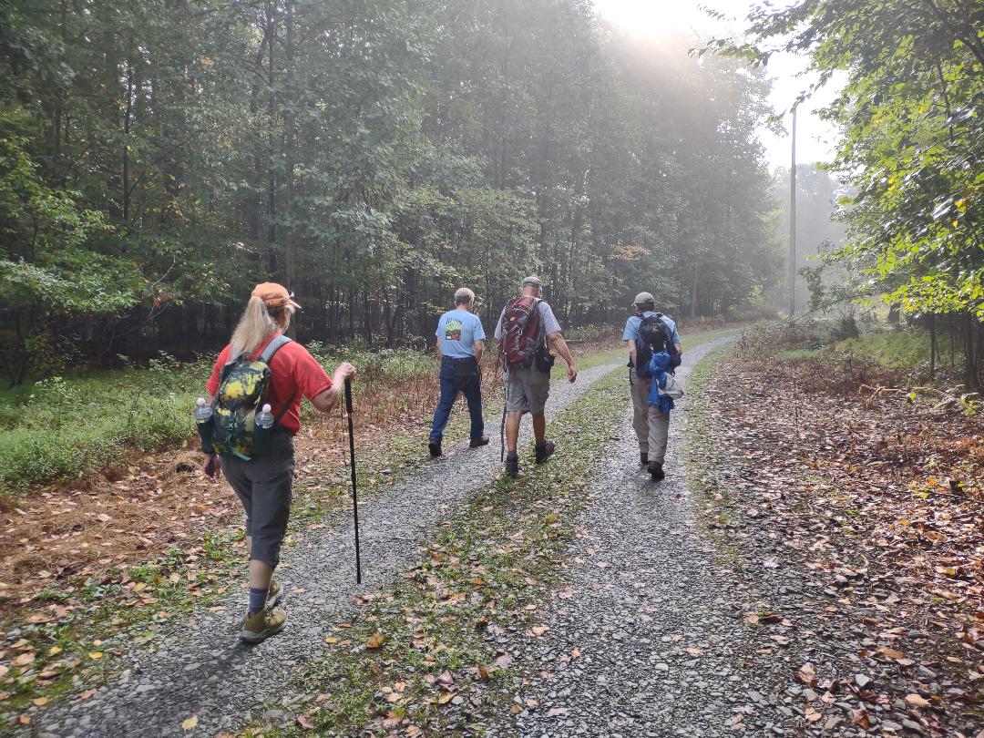
This 4 mile loop day hike happened on Saturday, September 9, 2023. It was sponsored by
Participants were Tim Schmidt, who led the hike, Linda Lambert, Jim McCoy, Terri Moore, a gentleman whose name escapes me and myself.
I had driven up to Morgantown, PA on Friday and stayed in a travel trailer overnight on Terri Moore’s property. On Saturday morning we both drove about an hour to the meeting place for this hike at the intersection of Chimney Rock and Furnace RDS north of Wrightsville, PA.
We shuttled my vehicle to the end of the 4 mile loop hike to the intersection of Furnace RD and River DR, then began the hike. The first .4 miles were along a gravel road. We then turned onto trail and started a 170 foot climb over the next .25 miles to what is called Buzzards Roost. We walked along the ridge for about .2 miles and then came to a partially obscured overlook of the Susquehanna River. This was the highpoint of this hike at about 1 mile. We saw numerous Paw Paw trees and fruit on the ground. We didn’t eat any but the inside of a Paw Paw tastes like banana pudding. You have to catch them between the time they ripen and the time that they go bad, which is very limited.
Next we started a 1 mile semi-steep down along what looked like an old road. We saw numerous old trails and roads along the way. At one point we came to a Y intersection. We took the left fork. It was around this point that Terri got stung by a bee. Since she is highly allergic to them we were very concerned about her. She had an eppi pen but didn’t have to use it because we believe that the sting was only partial. She took some Benadryl and then seemed to be OK. We were at the most remote part of the hike at this point and were worried if we needed to get an ambulance for her.
At around the 2 mile mark we got to the end of this down and I believe that we were on the Overlook Trail. It was blazed white. There was an overlook here but I didn’t walk out to it. We saw a paved driveway that we could have gotten an ambulance to from River DR for Terri if we needed it. We had 5G Verizon cell service here. The majority of this loop was marked with blue streamers.
Then we started a series of long ups and downs for the next 2 miles. The scenery here was beautiful. Wildcat Creek was about 80 feet below us at one point. We passed the dam that Marietta Gravity Water Company at one time used to pump fresh spring water under the Susquehanna River to that nearby town. We also came across an old, abandoned mine that supplied an element for making iron for a nearby furnace. The ruins of this furnace are still standing.
We then saw some springs that fed Wildcat Run, then passed a gas line right of way, got on the Mason-Dixon trail for about 500 feet and then made it back to my vehicle around 11:45 AM. Total mileage was about 4. I shuttled 3 people back to our original meeting place a quarter mile away. We said our goodbyes and I started the long ride home.
The area that we hiked in is undergoing a major transformation. The
bought the 797 acre area and it is now called the Hellam Hills Nature Preserve. The Mason-Dixon Trail was initially re-routed through this preserve along Dugan Run which took it off of River DR and eleviated about 2 miles of road walking. The route of the M-DT through this preserve may change in the near future to include some of the area that we hiked.
Just west of this preserve there is a new PA state park called Susquehanna Riverlands State Park. They plan to take another approximately 3 miles of the Mason-Dixon Trail off of roads there in the future. These areas are a great gift to not only the people of Pennsylvania but to all that enjoy the outdoors.
Mike C
< Previous Trip Log | << Outdoors | Next Trip Log >


